For our North American stop, we'll go to the heart of the Gaspé
Quebec, between the St. Lawrence River and the Appalakehian
track where we can still find the
nature in the raw state,
combining local forests and fauna, mountains and huts,
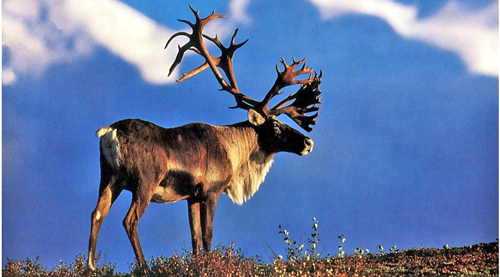
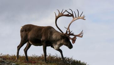
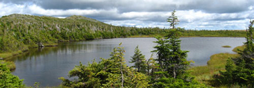
and Caribou and lakes .
Raid Extreme: groups of 3 or individually,
with boundary-makers,
self sufficiency in food ...
we
can do it in 3 ou 4 steps , in two versions :
AVENTURE
: 4 steps : 42+ 50 +50 + 58 km = 200 km
EXTREME
: 3 steps : 42+100+58 km = 200 km
Bivouac at the finish of every step
Runners and walkers
Fellow possible.
The
Gaspé
The
Caribou Track 


It
can be done in 3 or 4 steps, in the following versions :
ADVENTURE
: 4 steps : 42+ 50 +50 + 58 km = 200 km
EXTREME
: 3 steps : 42+100+58 km = 200 km
The 2 versions are hard, because of the length and the elevation.
The marquers will be present in every 400 m and in every changing
of directions.
Check points in every 15/20 km.
The bivouacs ,"Arrival" et "departure" are
common .
The
only difference,
it's a step of 100 km non stop or 50 + 50
with un bivouac near the lake Caspédia 
|
ADVENTURE
|
EXTREME
|
|
4 steps
|
3 steps
|
|
Departure from St Pierre mount - Jacques
Cartier mount
|
|
42 km
|
42 km
|
|
Arrival 1 Jacques Cartier mount
|
|
50 km
|
100 km
|
|
Caspédia lake
|
|
50 km
|
|
Arrival: Logan mount
|
Arrival 2 Logan mount
|
|
58 km
|
58 km
|
|
Finish : Matane lake 200km
|
Step 1 High Gaspésie : 42 km
|
High Gaspésie : Step 1
|
42 km |
+ 660 m
|
| St Pierre mount |
Departure
|
PK 0
|
| CP1 km 14 |
Km 14
|
PK 14
|
| CP2 lake and Caburons refuge |
Km 28
|
PK 28
|
| Arrival : Jacques Cartier mount |
km 42,3
|
PK 42
|
|
We go from the shore of the River, due
to the south for a marathon in Forest ....
|
step 2: Gaspesie Natural Park Adventure:
|
Adventure step 2 :
|
50,7 km
|
D +1910m |
| departure : jacques Cartie rmount |
|
PK 42
|
| CP1 : American lakes |
km 19,4
|
PK 61
|
| CP2 Albert mount |
km 28,1
|
PK 70
|
| CP3: Caribous Descent |
km 35,9
|
PK 78
|
| Arrival: Caspedia Lake |
km 50,7
|
PK 92
|
step 3: Gaspesie Natural Park Adventure
|
Aventure step 3:
|
50 km
|
D+1470m |
| departure : Caspedia lake |
km 0
|
PK 92
|
| CP5 : Pic de l'aube |
km 15
|
PK 107
|
| CP6 : Thibault lake |
km 25
|
PK 117
|
| CP7: La Croisée |
km 39
|
PK 131
|
| Arrival : Logan mount |
km 50
|
PK 142
|
or
|
step 2 EXTREME
km Gaspesie Natural Park of
100 km
|
| departure : Jacques Cartier mount |
|
PK 42
|
| CP1 : american lakes 61,7 |
km 19,4
|
PK 61
|
| CP2: Albert mount km 70,4 |
km 28,1
|
PK 70
|
| CP3: Caribous Descent |
km 35,9
|
PK 78
|
| CP4 : Caspedia lake |
km 50
|
PK 92
|
| CP5 : Pic de l'aube |
km 65
|
PK 107
|
| CP6 : Thibault lake |
km 75
|
PK 117
|
| CP7: the Crossroads |
km 89
|
PK 131
|
| Arrival : Logan mount |
km 100
|
PK 142
|
step 3(or 4 according to your choice) 58 km : Matane
Wildlife Reserve
|
Last step 58 km - D+2050 m
|
| departure : Logan mount |
|
PK 142
|
| CP1: the Ruisseau Bascon |
km 11
|
PK 153
|
| CP2 : Cap Chat Riviere |
km 19
|
PK 161
|
| CP3: Beaulieu lake |
km 35
|
PK 177
|
| CP4: Craggy mount |
km 42
|
PK 184
|
| CP5: Gros Ruisseau lake |
km 52
|
PK 194
|
| Arrival : Matane lake |
km 58
|
PK 200
|
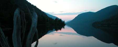
Photo : Finish at Matane lake
 Download
the presentation
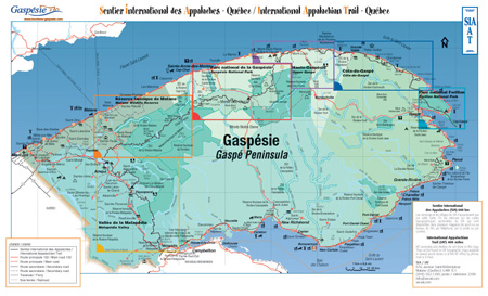
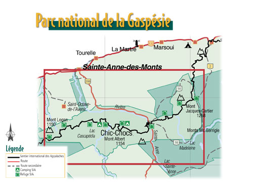
General Map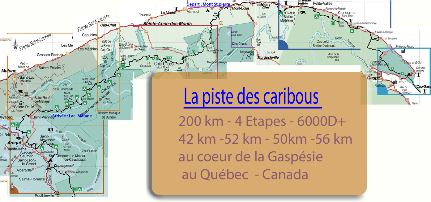
step
1
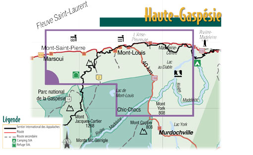
step
2 and step 3
Jacques Cartier mount-
Caspédia lake-
Logan mount
50+50 or 100 km
. 
step
3 Logan mount- Matane lake
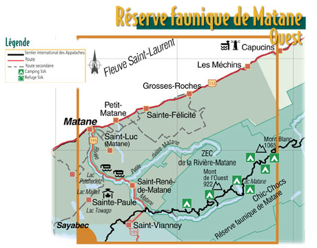
map SIA : appalakehes path
The
route in photos:
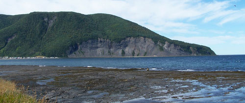
Bay of St Pierre mount

Gaspésie cliffs
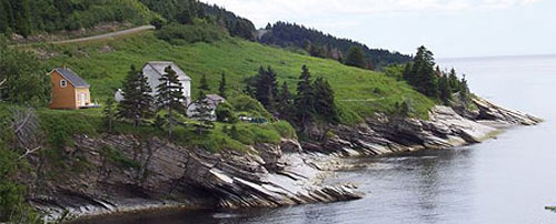
Appalakehes path
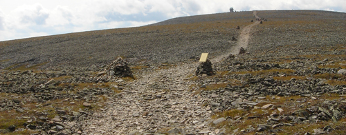
Going to the peak of Jacques Cartier mount
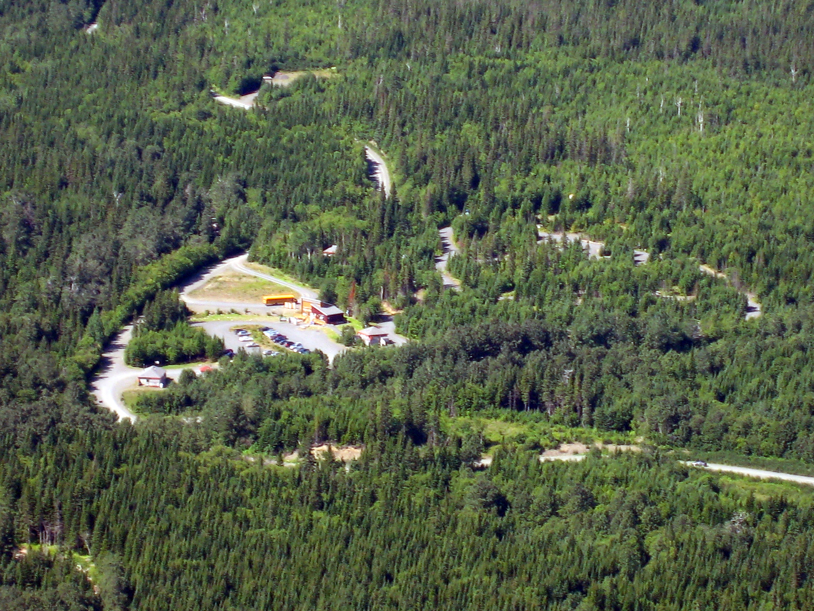
Bivouac Jacques Cartier ( Arrival 1 )

Xalibu mount
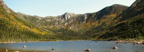
american lakes

Caspédia lake (Arrival 2 or bivouac 3)
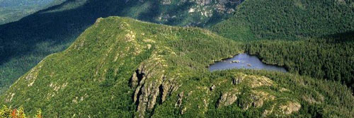
Peak de l'aube
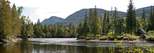
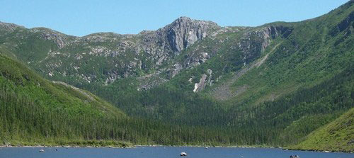
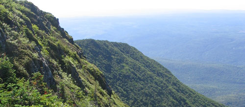

Logan mount: Ridges and lakes
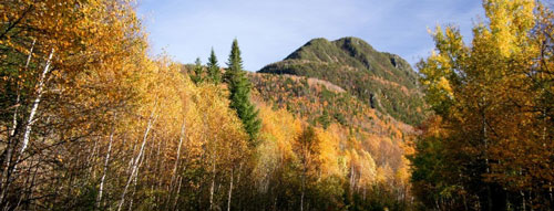
Fall season at Chics Chocs

landscape of Blanc mount

Matane lake : Finishing arrival
